- India
- Feb 15
- Mathew Gregory
Govt announces liberalised guidelines for geospatial data
Background
• Location information is an integral part of the modern digital ecosystem and critical for unlocking economic, social and environmental opportunities for sustainable growth and development of the country.
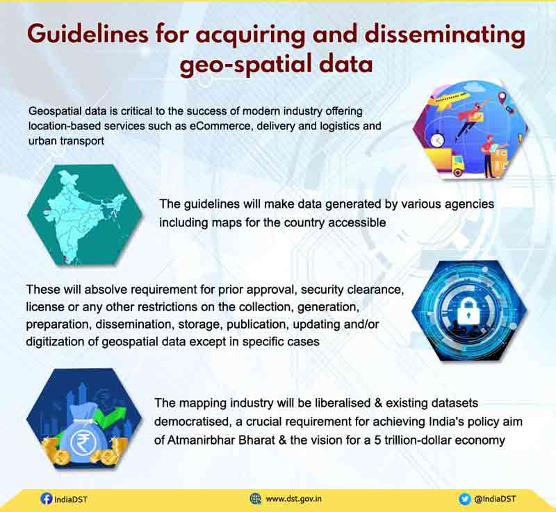
• It is critical to the success of modern industry offering location-based services such as e-Commerce, delivery and logistics and urban transport.
• It is also essential for more traditional sectors of the economy such as agriculture, construction and development and mines and minerals.
• Geospatial data which includes location information are data about the natural or man-made, physical or imaginary features whether above the ground or below, boundaries, points of interest, natural phenomena, mobility data, weather patterns, statistical information, etc.
• Maps and accurate geospatial data are crucial for national infrastructure projects such as linkages of rivers, creation of industrial corridors and deploying smart power systems.
• Emerging vibrant technologies like Digital India, Smart Cities, eCommerce, autonomous drones, delivery, logistics and urban transport require a leap forward in mapping with greater depth, resolution and precision.
• Existing regime imposed significant restrictions on the mapping industry - from creation to dissemination of maps, requiring Indian companies to seek licenses, follow a cumbersome system of pre-approvals and permissions.
• Compliance with these regulatory restrictions has subjected startups in India to unnecessary red tape, hindering Indian innovation in map technologies for decades.
• In every economic endeavor, spanning agriculture, finance, construction, mining and local enterprise, India’s farmers, small businesses and corporations alike stand to gain tremendously from the application of innovative technologies based on modern geospatial data technologies and mapping services.
Highlights
• New liberalised guidelines for geo-spatial data will lead to a One Lakh Crore Rupees Geo-Spatial economy.
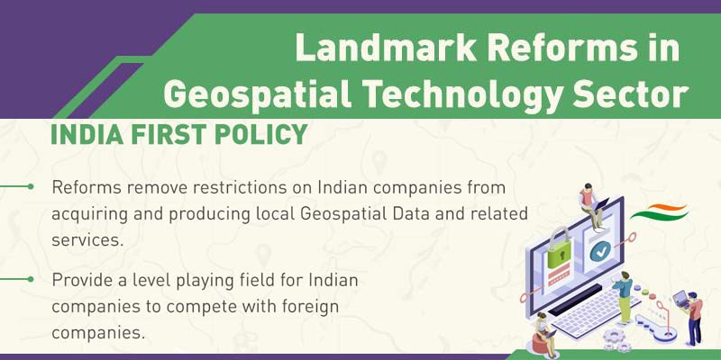
• India presently relies heavily on foreign resources for mapping technologies and services.
• Liberalisation of the mapping industry and democratization of existing datasets will spur domestic innovation and enable Indian companies to compete in the global mapping ecosystem by leveraging modern geospatial technologies.
• Availability of comprehensive, highly accurate, granular and constantly updated representation of Geospatial Data will significantly benefit diverse sectors of the economy and will significantly boost innovation in the country and greatly enhance the preparedness of the country for emergency response.
• The availability of data and modern mapping technologies to Indian companies is also crucial for achieving the vision of AtmaNirbharBharat and a five trillion-dollar economy.
• Locally available and locally relevant Maps and Geospatial Data would also help in improved planning and management of resources and better serve the specific needs of the Indian population.
• Blue economy in India is another sunrise issue for development experts where Geospatial Data is expected to play a potentially important role.
• All geospatial data produced using public funds, except classified geospatial data collected by security/law enforcement agencies, will be made accessible for scientific, economic and developmental purposes to all Indian Entities and without any restrictions on their use.
• Furthermore, our corporations and innovators are no longer subject to restrictions nor do they require prior approvals before they collect, generate, prepare, disseminate, store, publish, update digital Geospatial Data and Maps within the territory of India.
• The move will unlock tremendous opportunities for the country's start-ups, private sector, public sector and research institutions to drive innovations and build scalable solutions.
New guidelines are
1. These guidelines will be applicable to Geospatial Data, Maps, products, solutions and services offered by government agencies, autonomous bodies, academic and research institutions, private organizations, Non-Governmental Organizations and individuals.
2. There shall be no requirement for prior approval, security clearance, license or any other restrictions on the collection, generation, preparation, dissemination, storage, publication, updating and/or digitization of Geospatial Data and Maps within the territory of India.
3. Physical access including through aerial/territorial water route to any establishment, installation or premises to which access is restricted by the Ministry/Department concerned is still valid.
4. There shall be a negative list of sensitive attributes that would require regulation before anyone can acquire and/or use such attribute data.
5. On-site spatial accuracy shall be one meter for horizontal or Planimetry and three meters for vertical or Elevation. Gravity anomaly shall be 1 milli-gal. Vertical accuracy of Bathymetric data in Territorial Waters shall be 10 meters for up to 500 meters from the shore-line and 100 meters beyond that.
6. For the attributes in the negative list, different threshold values as well as regulations as warranted can be laid down. The thresholds shall be regularly reviewed and amended as necessary by DST.
7. Indian Entities, whether in Government or outside, will be free to acquire, collect, generate, prepare, disseminate, store, share, publish, distribute, update, digitize and/or create Geospatial Data, including Maps, of any spatial accuracy within the territory of India including underwater within its territorial waters by using any Geospatial Technology, subject to regulations on attributes in the negative lists.
8. Ground truthing/verification, access to Indian ground stations and augmentation services for real time positioning (Continuously Operating Reference Stations (CORS), etc), Terrestrial Mobile Mapping survey, Street View survey and surveying in Indian territorial waters shall be permitted only for Indian Entities.
9. Maps/Geospatial Data of spatial accuracy/value finer than the threshold value can only be created and/or owned by Indian Entities and must be stored and processed in India.
10. Foreign companies and foreign owned or controlled Indian companies can license from Indian Entities Digital Maps/Geospatial Data of spatial accuracy/value finer than the threshold value only for the purpose of serving their customers in India.
11. Digital Maps/Geospatial Data of spatial accuracy/value up to the threshold value can be uploaded to the cloud but those with accuracy finer than the threshold value shall only be stored and processed on a domestic cloud or on servers physically located within territory of India.
12. All Geospatial Data produced using public funds, except the classified geospatial data collected by security/law enforcement agencies, shall be made easily accessible for scientific, economic and developmental purposes to all Indian Entities and without any restrictions on their use.
13. The Survey of India (SoI) and other government agencies producing or owning Maps and Geospatial Data, shall take immediate measures to simplify procedures, revise/abolish various forms/licenses and use modern techniques such as cloud, open APIs and others to make its data accessible online in a useful format.
14. For political Maps of India of any scale including national, state and other boundaries, SoI published maps or SoI digital boundary data are the standard to be used, which shall be made easily downloadable for free and their digital display and printing shall be permissible.
15. All citizens, companies, and organizations including Government agencies, producing Geospatial Data and information shall be encouraged to collaborate in mutually beneficial manner and work towards open-linked Geospatial Data.
(The author is a trainer for Civil Services aspirants. The views expressed here are personal.)


