- India
- Jan 04
NHAI signs MoU with National Remote Sensing Centre
The National Highways Authority of India (NHAI) has signed an agreement with the National Remote Sensing Centre (NRSC) to develop a ‘Green Cover Index’ for the extensive network of National Highways in India.
What is the purpose of this agreement?
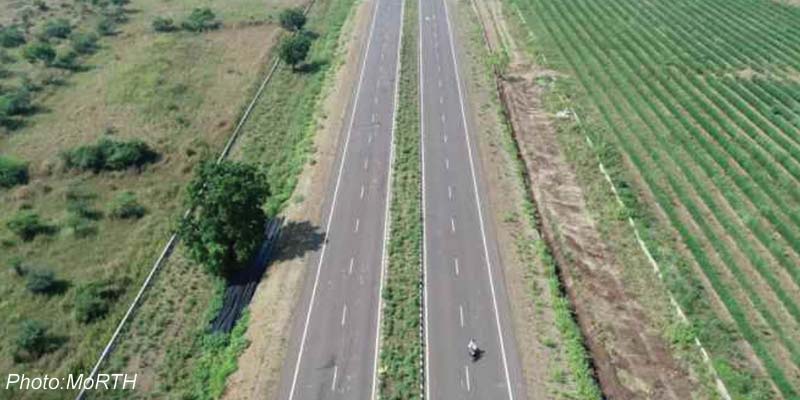
• In September 2015, the government launched the Green Highways (Plantation, Transplantation, Beautification & Maintenance) Policy. The aim of the policy is to promote greening of highway corridors with participation of the community, farmers, private sector, NGOs, and government institutions.
• According to the policy, about 1 per cent of the total project cost of all highways projects will be kept aside for the highway plantation and its maintenance. About Rs 1,000 crore per year will be available for plantation purposes. It will generate employment opportunities for about five lakh people from rural areas.
• It also aims to reduce the impact of air pollution and dust by planting trees and shrubs along the National Highways. They will act as natural sink for air pollutants and arrest soil erosion at the embankment slopes.
• Since the initiation of the Green Highways Policy in 2015, the prioritisation of greening Highway Corridors has been a focal point for the ministry of road transport and highways (MoRTH) and NHAI.
• At present, the monitoring of plantations relies on site visits by field personnel.
• Using the capabilities of emerging technologies to enhance in-situ data collection and supplement plantation management and monitoring, including performance audits conducted by NHAI, the NRSC will undertake a comprehensive pan-India estimation of green cover, referred to as the ‘Green Cover Index’ for National Highways using high-resolution satellite imagery.
• It will also facilitate targeted interventions in regions that are reported to lack adequate green cover.
• As a proof of concept, NRSC has already conducted successful pilot projects for estimation of green cover along National Highways.
• Overarching endeavour of the project is to capture the Green Cover Index region-wise for National Highways in the first assessment cycle.
• Subsequent annual cycles will focus on estimating the growth patterns of green cover for National Highways using scientific techniques.
• Findings of the index will facilitate the comparison and ranking of various National Highways for timely and periodic intervention.
• As green cover would be estimated for every 1 km length of the National Highways, it would be possible to generate granular metrics for individual projects/packages as well.
National Remote Sensing Centre
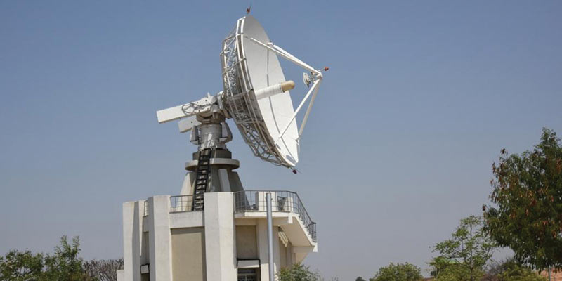
• National Remote Sensing Centre (NRSC) is one of the primary centres of Indian Space Research Organisation (ISRO).
• NRSC has the mandate for establishment of ground stations for receiving satellite data, generation of data products, dissemination to the users, development of techniques for remote sensing applications including disaster management support, geospatial services for good governance and capacity building for professionals, faculty and students.
• NRSC operates through multiple campuses to meet national and regional remote sensing data and applications needs of the country.
• The main campus is situated in Balanagar in Hyderabad for administration, remote sensing applications and aerial services.
• It also has campuses in Shadnagar and Jeedimetla in Hyderabad.
• There are five Regional Remote Sensing Centres (RRSCs) in Bengaluru, Jodhpur, Kolkata, Nagpur, and New Delhi for promoting remote sensing applications for various states.
Manorama Yearbook app is now available on Google Play Store and iOS App Store


