- India
- Sep 07
- Kevin Savio Antony
What is Digital Agriculture Mission?
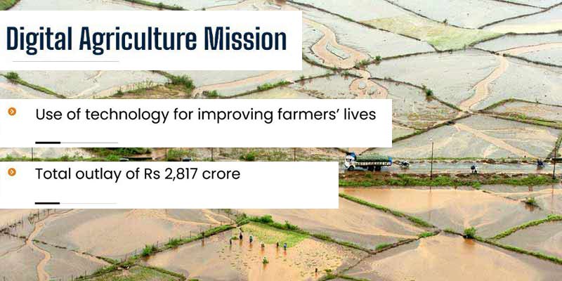
• The Union Cabinet Committee approved the Rs 2,817-crore Digital Agriculture Mission for the creation of Digital Public Infrastructure (DPI) in the farm sector.
• Digital Agriculture Mission involves Agri Stack (farmers registry, village land maps registry, crop registry) and Krishi Decision Support System (geospatial data, drought/flood monitoring, weather/satellite data, groundwater/water availability data, modeling for crop yields insurance).
What impact will it have in the sector?
The DPI Mission
• Union Finance Minister Nirmala Sitharaman announced in the Union Budget 2024-25 that the government, in partnership with states, will implement Digital Public Infrastructure (DPI) for agriculture over the next three years.
• This initiative will cover farmers and their lands, with a digital crop survey for Kharif planned for 400 districts this year.
• The goal is to update registries with details of six crore farmers and their lands.
• The Union Budget 2023-24 had previously introduced the DPI for agriculture, which aims to provide comprehensive data on farmers, including demographic details, land holdings, and crops sown.
• The DPI will integrate with state and central digital infrastructures to offer a range of farmer-centric services, including information on livestock, fisheries, soil health, and available benefits.
• Three major components of DPI are envisaged under the Digital Agriculture Mission: AgriStack, Krishi Decision Support System (DSS), and Soil Profile Maps.
1) AgriStack: Kisan ki Pehchaan
AgriStack is designed as a farmer-centric Digital Public Infrastructure (DPI) to streamline services and scheme delivery to farmers.
It comprises three key components:
i) Farmers’ Registry
ii) Geo-referenced village maps
iii) Crop Sown Registry.
• A crucial feature of AgriStack is the introduction of a ‘Farmer ID’, similar to Aadhaar card, serving as a trusted digital identity for farmers.
• These IDs, created and maintained by state governments/ Union Territories, will be linked to various farmer-related data, including land records, livestock ownership, crops sown, and benefits availed.
• The implementation of AgriStack is progressing through partnerships between the central and state governments, with 19 states having signed MoUs with the Ministry of Agriculture.
• Pilot projects have been conducted in six states to test the creation of Farmer IDs and the Digital Crop Survey.
• The six states are: Uttar Pradesh (Farrukhabad), Gujarat (Gandhinagar), Maharashtra (Beed), Haryana (Yamuna Nagar), Punjab (Fatehgarh Sahib), and Tamil Nadu (Virudhnagar).
Key targets include:
• Creating digital identities for 11 crore farmers over three years (6 crore in FY 2024-25, 3 crore in FY 2025-26, and 2 crore in FY 2026-27)
• Launching the Digital Crop Survey nationwide within two years, covering 400 districts in FY 2024-25 and all districts in FY 2025-26.
2) Krishi Decision Support System
• The Krishi Decision Support System (DSS) will integrate remote sensing data on crops, soil, weather, and water resources into a comprehensive geospatial system.
3) Soil Profile Mapping
• Under the mission, detailed soil profile maps on a 1:10,000 scale for approximately 142 million hectares of agricultural land have been envisaged, with 29 million hectares of soil profile inventory already being mapped.
• Further under the Digital Agriculture Mission, the Digital General Crop Estimation Survey (DGCES) will be used for crop-cutting experiments to provide precise yield estimates, enhancing agricultural production accuracy.
• The mission is expected to create direct and indirect employment in agriculture, providing opportunities for around 2,50,000 trained local youth and Krishi Sakhis.
• By leveraging modern technologies like data analytics, AI, and remote sensing, the mission will improve service delivery for farmers, including streamlined access to government schemes, crop loans, and real-time advisories.
Key benefits of the mission:
The Digital Agriculture Mission focuses on grassroots implementation, targeting farmers as the primary beneficiaries include
• Digital authentication for accessing services and benefits, reducing paperwork and the need for physical visits.
• Enhanced efficiency and transparency in government schemes, crop insurance, and loan systems through accurate data on crop area and yield.
• Crop map generation and monitoring for better disaster response and insurance claims.
• Development of digital infrastructure to optimise value chains and provide tailored advisory services for crop planning, health, pest management, and irrigation.
Digital General Crop Estimation Survey (DGCES)
• The adoption of improved crop yield estimation systems will significantly enhance the accuracy and robustness of India’s agricultural production data.
• This addresses concerns often raised about the reliability of current estimates. More precise data will empower government schemes, making initiatives such as paperless Minimum Support Price (MSP)-based procurement, crop insurance, and credit card-linked crop loans more efficient and transparent.
• Additionally, it will aid in the development of balanced fertiliser usage systems.
• With the integration of digitally captured data on crop-sown areas, alongside yield estimates from the Digitally Georeferenced Crop Estimation System (DGCES) and remote sensing technology, the accuracy of production estimates will improve. These advancements will also promote crop diversification and provide insights into irrigation requirements based on crop type and season.
• The DGCES, which is grounded in scientifically designed crop-cutting experiments, will offer reliable yield estimates, contributing to more accurate agricultural production assessments.
(The author is a trainer for Civil Services aspirants.)

