- World
- May 22
What is Copernicus Emergency Management Service?
The European Commission activated a satellite mapping service to aid search efforts after Iranian President Ebrahim Raisi’s helicopter crashed, following a request for assistance from Iran.
The European Commission's Copernicus Emergency Management Service (CEMS) provides mapping products based on satellite imagery.
What is Copernicus programme?
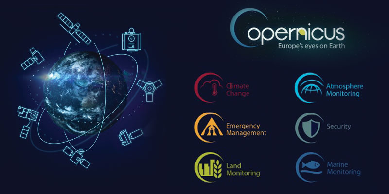
• Copernicus is the Earth observation component of the European Union’s Space programme. It offers information services that draw from satellite Earth Observation and data.
• Earth observation refers to the use of remote sensing technologies to monitor land, marine (seas, rivers, lakes) and atmosphere.
• Satellite-based Earth observation relies on the use of satellite-mounted payloads to gather imaging data about the Earth’s characteristics.
• The images are then processed and analysed in order to extract different types of information that can serve a very wide range of applications and industries.
• These include urban area management, sustainable development and nature protection, regional and local planning, agriculture, forestry and fisheries, health, civil protection, infrastructure, transport and mobility, as well as tourism.
• Copernicus is served by a set of dedicated satellites (the Sentinel family) and contributing missions (existing commercial and public satellites).
• As part of the Space Component of Copernicus, state-of-the-art satellites known as the Sentinel family have been developed, produced and launched by the European Space Agency and its partners on behalf of the European Union, which is the owner of the satellites.
• The Sentinel satellites are specifically designed to meet the needs of the Copernicus services and their users. Since the launch of Sentinel-1A in 2014, the European Union set in motion a process to place a constellation of almost 20 satellites in orbit before 2030.
• Today, there are seven Sentinel satellites in orbit, of five different types. Copernicus satellites, along with ground-based, airborne, and seaborne measurement sensors, are providing vast amounts of global data.
• Copernicus also collects information from in situ systems such as ground stations, which deliver data acquired by a multitude of sensors on the ground, at sea or in the air.
• The main users of Copernicus services are policymakers and public authorities who need the information to develop environmental legislation and policies or to take critical decisions in the event of an emergency, such as a natural disaster or a humanitarian crisis.
• Based on the Copernicus services and on the data collected through the Sentinels and the contributing missions, many value-added services can be tailored to specific public or commercial needs, resulting in new business opportunities.
• The Copernicus Emergency Management Service (CEMS) uses satellite imagery and other geospatial data to provide free of charge mapping service in cases of natural disasters, human-made emergency situations and humanitarian crises throughout the world.
It covers in particular:
i) Floods
ii) Earthquakes
iii) Landslides
iv) Severe Storms
v) Fires
vi) Technological disasters
vii) Volcanic eruptions
viii) Humanitarian crises
ix) Tsunamis.
Rapid Mapping (RM) and Risk and Recovery Mapping (RRM)
• The mapping component of the service has a worldwide coverage. The service has been fully operational since April 1, 2012.
• The on-demand mapping service provides detailed information supporting all phases of the disaster management cycle under request, covering all types of events, natural and man-made, anywhere in the world.
On-demand mapping consists of three modules:
i) Rapid Mapping for the emergency response in the immediate aftermath of a disaster.
ii) Risk and Recovery Mapping for the disaster management phases related to prevention, preparedness,
disaster risk reduction and recovery.
iii) Validation, that ensures the quality and continuous improvement of the products and services delivered.
• Rapid Mapping and Risk and Recovery Mapping are requested by various actors active in the field of disaster management — national civil protection of the EU Member States, EU agencies and services, and international humanitarian aid organisations.
• The outcomes are both geospatial data to be integrated in geo-information systems for further analyses, and ready-to-print maps to visualise the main results.
Manorama Yearbook app is now available on Google Play Store and iOS App Store

